Florida · 374 places · 14,592 homes analyzed
Every listing looks good in photographs. We measure what the photographs leave out: the flood zone at the parcel, the sprayed cropland half a mile upwind, the arterial road you'll hear at six in the morning. Browsing is free.
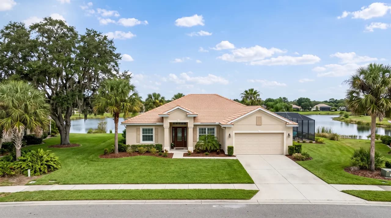
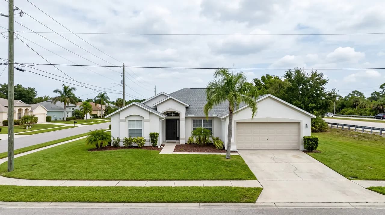
Three homes from the corpus, picked at random. Every line below is measured from that home's own lot, not estimated from its zip code, and none of it appears in the listing.
Thirteen environmental signals measured from the parcel itself: FEMA flood zone, cropland and spray corridors, major roads and their traffic counts, industrial and contaminated sites, radon, reported sinkholes.
Mortgage, property tax, insurance and HOA added into one number, so you compare what you would actually pay each month instead of the list price.
Parcel-level attendance boundaries where the county publishes them, so the answer is the school this address is zoned for and not a district average.
Tree canopy measured from satellite, housing density, build vintage, and the named community a lot sits in. We also say plainly which of these we could not measure.
Sign in and every home gets graded against your household: how long you plan to stay, what you can carry monthly, who is sensitive to what. Buy it anyway if it's right for you. Walk away if it isn't. Either way, eyes open.